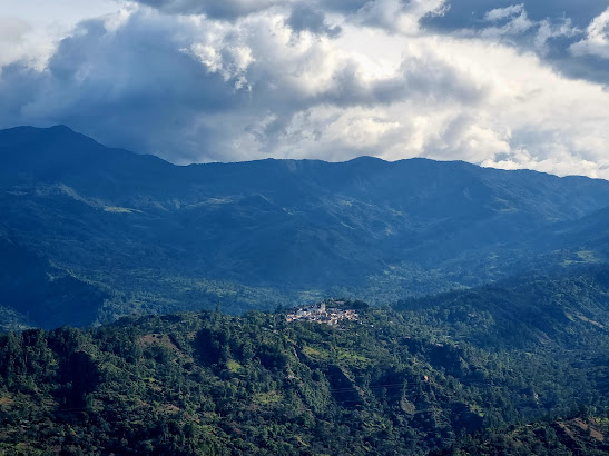
Tenza Valley - Going down at night
Oh yes, a lot of changes since I last posted happened in life, which I will cover in another blog. Thank you for returning, it means a lot to me and the blog. Let us get straight into business, now.
Tenza valley is a vast region in the eastern part of Boyacá department which is mostly covered by two provinces - Eastern Boyacá province with Guateque as the capital and Neira province with Garagoa as the capital.
Looking back to the previous blog, not a lot has changed in my opinion - This region is one of the most beautiful regions of Boyacá department.
Tenza Valley formed part of an ancient trade route from the Andes to the plains, which it faithfully serves through this day. During a recent trip to Meta department for end of year, we used this route to return, as you know, the route from Bogotá to Villao was off and on with a lot of traffic.
Eastern Boyacá (Provincia de Oriente) province is home to 8 municipalities namely - Guateque, Almeida, Chivor, Guayatá, La Capilla, Somondoco, Sutatenza and Tenza.
Neira province is home to 6 municipalities namely - Garagoa, Chinavita, Macanal, Pachavita, San Luis de Gaceno and Santa María.
Three municipalities of the Almeidas province of Cundinamarca namely Manta, Machetá and Tibirita along with the aforementioned provinces of Boyacá form the greater Tenza valley region.
How to reach Tenza Valley
1. Take the Autopista norte towards Tunja. This is called the Autopista Norte or by its official name - The Liberators’ highway | Avenida de los libertadores
2. After crossing Sisga reservoir, take the exit to the right towards Machetá , Cundinamarca. Machetá is about 2100 meters above sea level and the weather changes can be noticed here.
3. From Machetá, it is a direct road to the provincial capitals of Guateque and Garagoa.
So for all practical purposes, the town of Candalaria - Machetá is the gateway to to the Tenza Valley.
Tenza comes from the language of Muiscas, called Chibcha - It means going down at night. It probably has a significance to the altitude and the route, always good to wonder.
As part of my ongoing Project Boyacá and Project Cundiamarca, I hope to explore the municipalities a bit more.
Shall we now take a trip to the land that is beautiful and mystical?


Comments
Post a Comment